Introduction
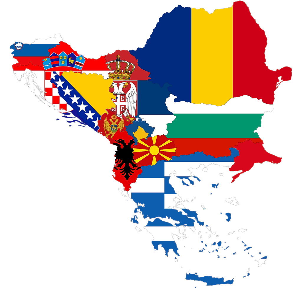
The Balkans, also known as the Balkan Peninsula, is a geographic area in southeastern Europe with various geographical and historical definitions. The region takes its name from the Balkan Mountains that stretch throughout the whole of Bulgaria.
The Balkan Peninsula is bordered by the Adriatic Sea in the northwest, the Ionian Sea in the southwest, the Aegean Sea in the south, the Turkish Straits in the east, and the Black Sea in the northeast. The northern border of the peninsula is variously defined. The highest point of the Balkans is Mount Musala, 2,925 metres (9,596 ft), in the Rila mountain range, Bulgaria.
Wikipedia
Balkans as a Travel Destination for European Overlanders
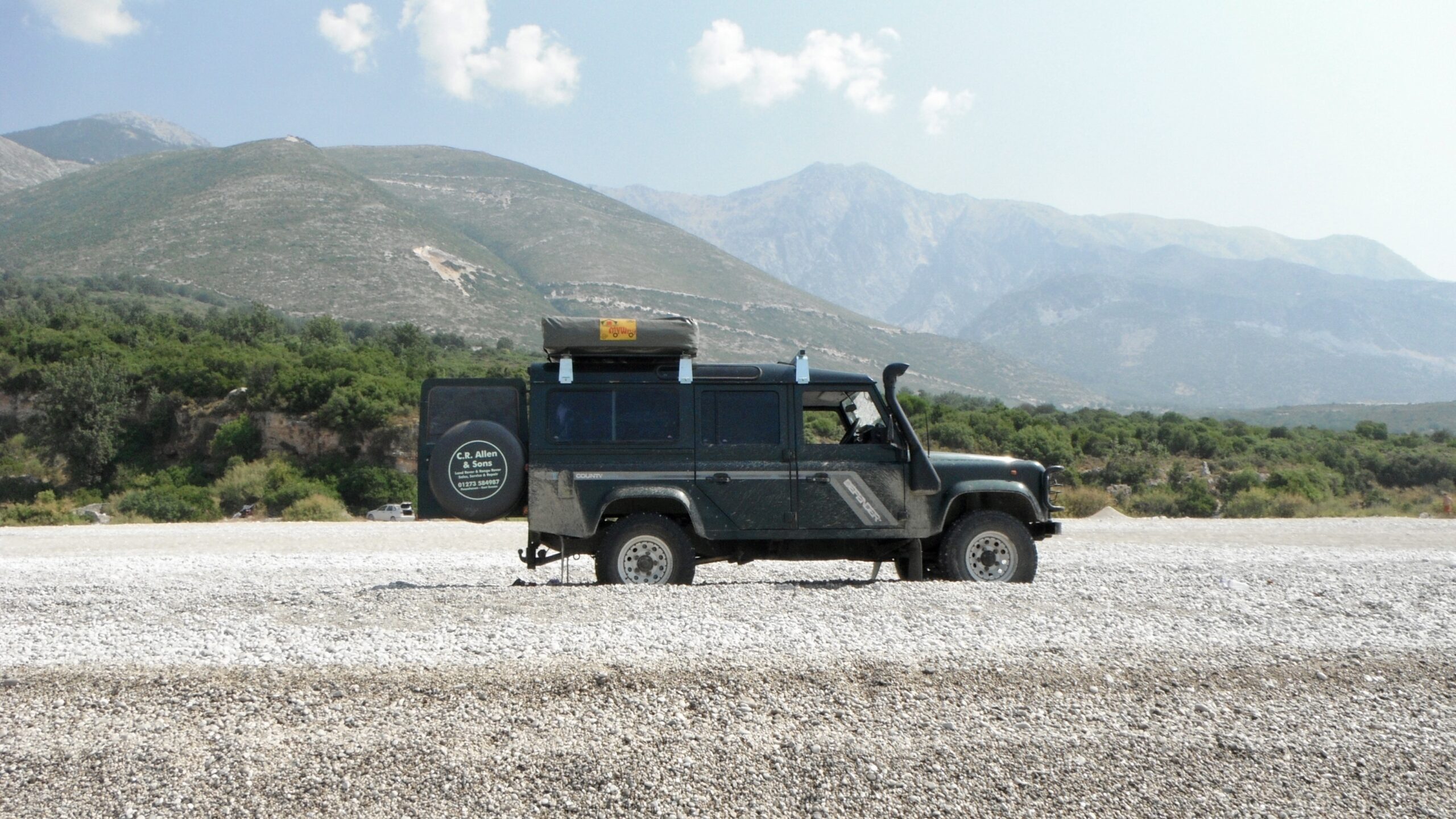
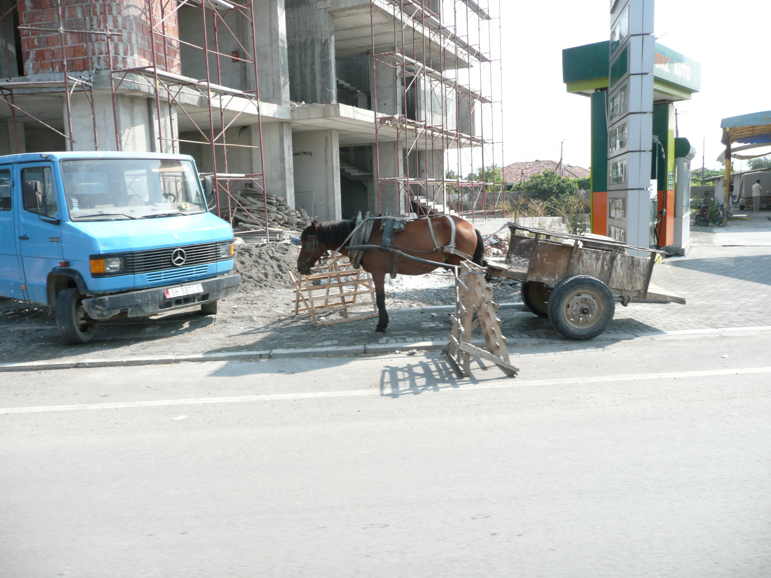
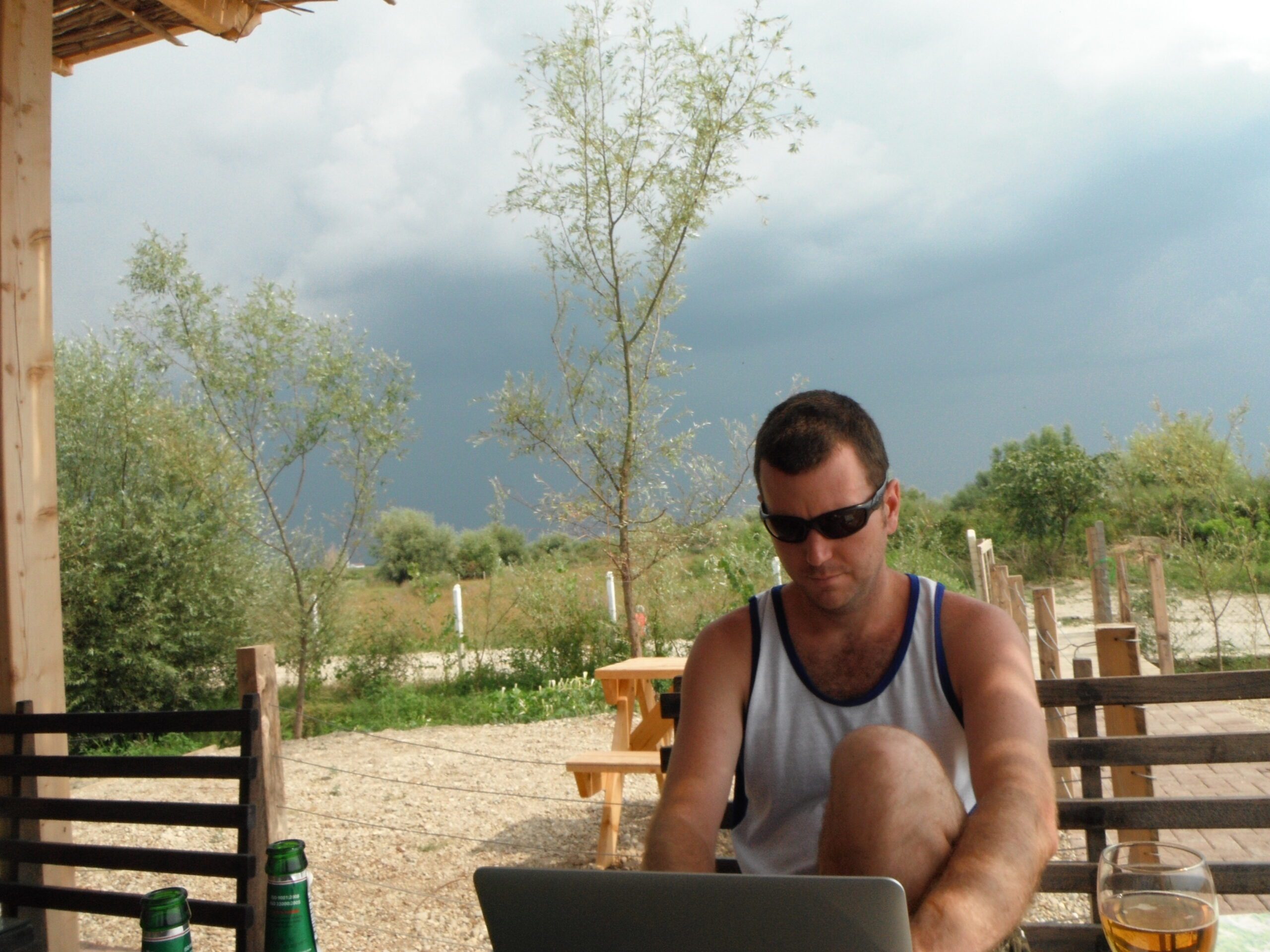
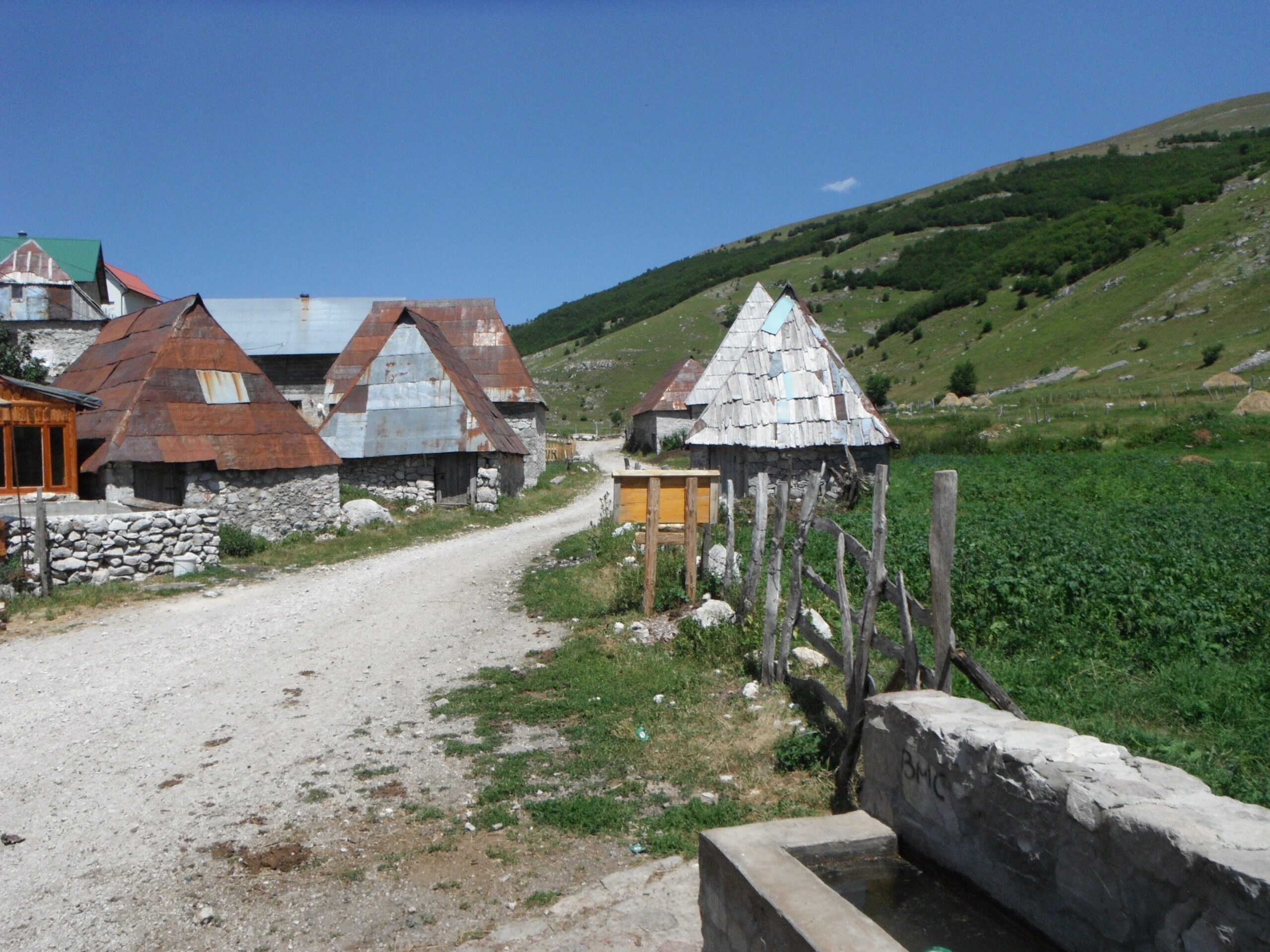
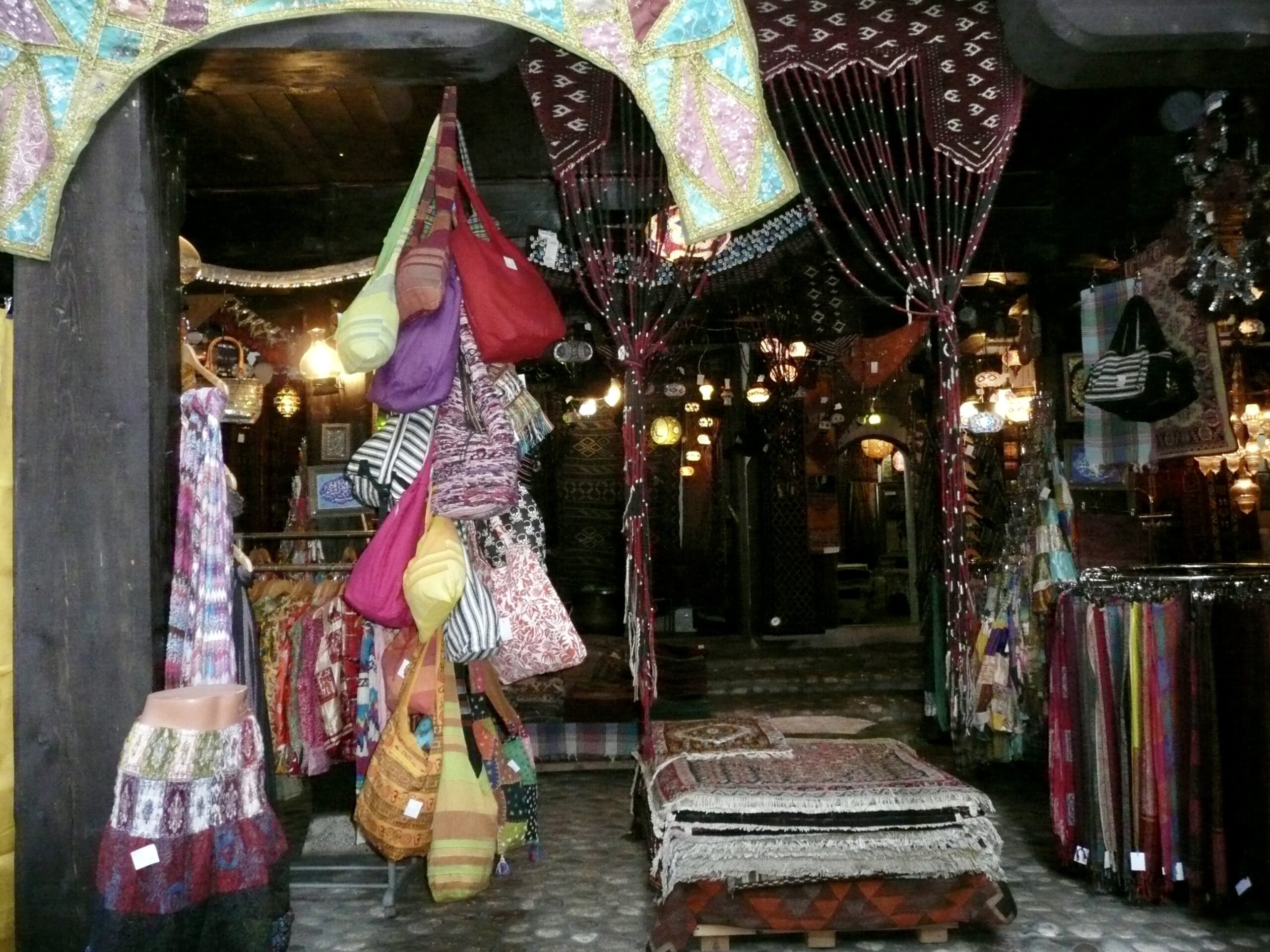
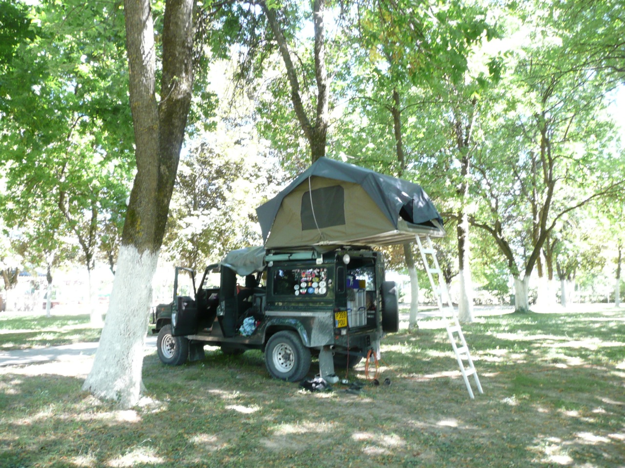
As an Overlander, who is based in Europe or passing through on the way to or from Europe, the Balkans offer excellent opportunities for Overlanding or more adventurous road trips.
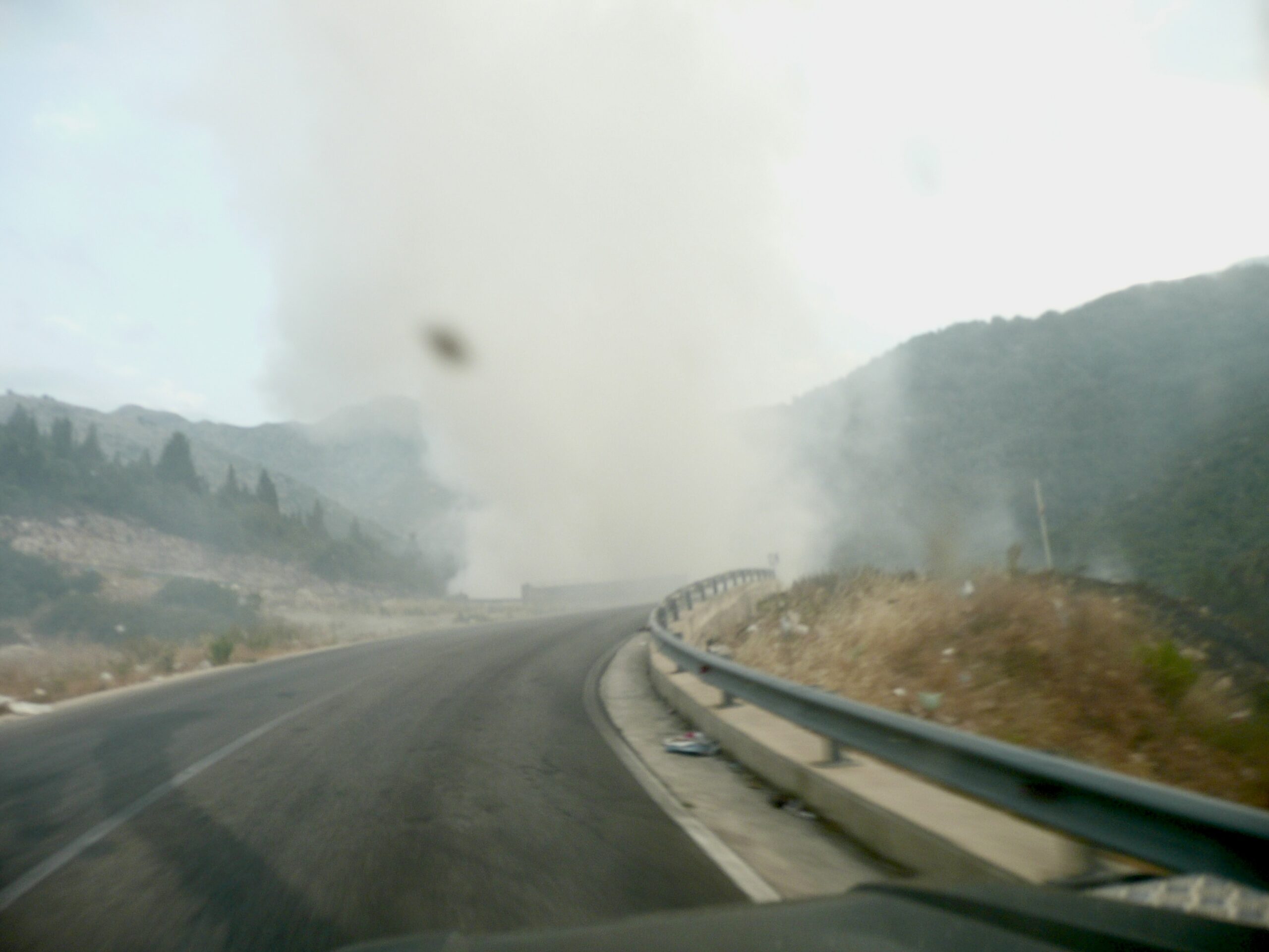
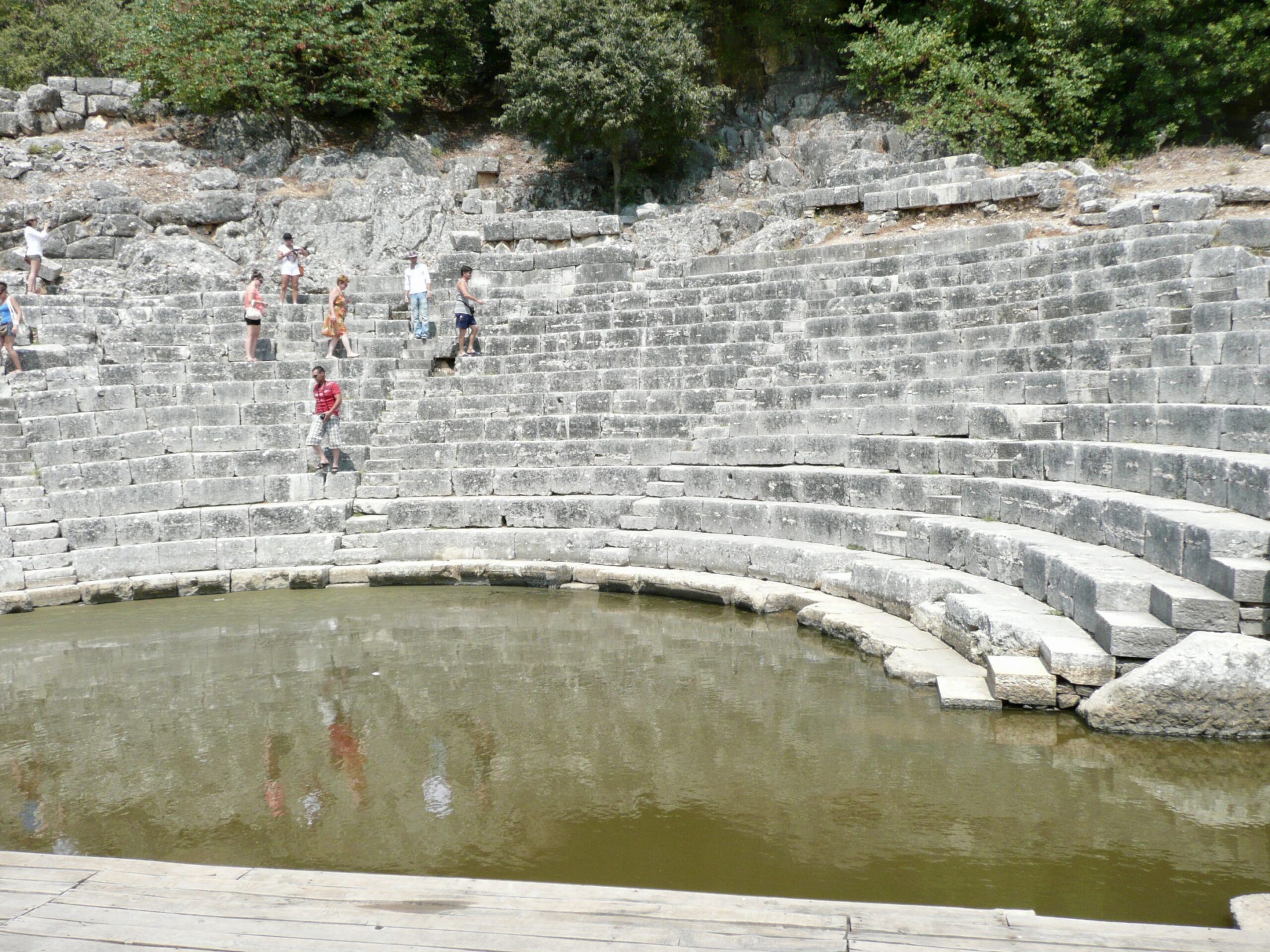
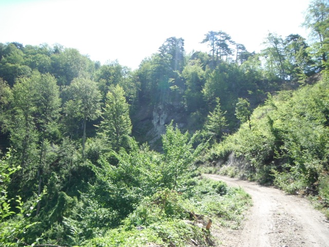
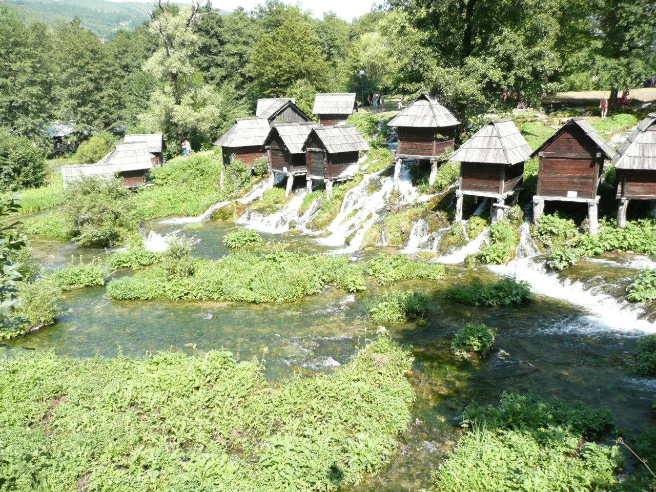
There are plenty of interesting places to visit and the opportunity to travel on unpaved roads and stay in secluded spots.
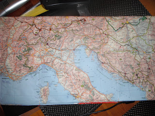
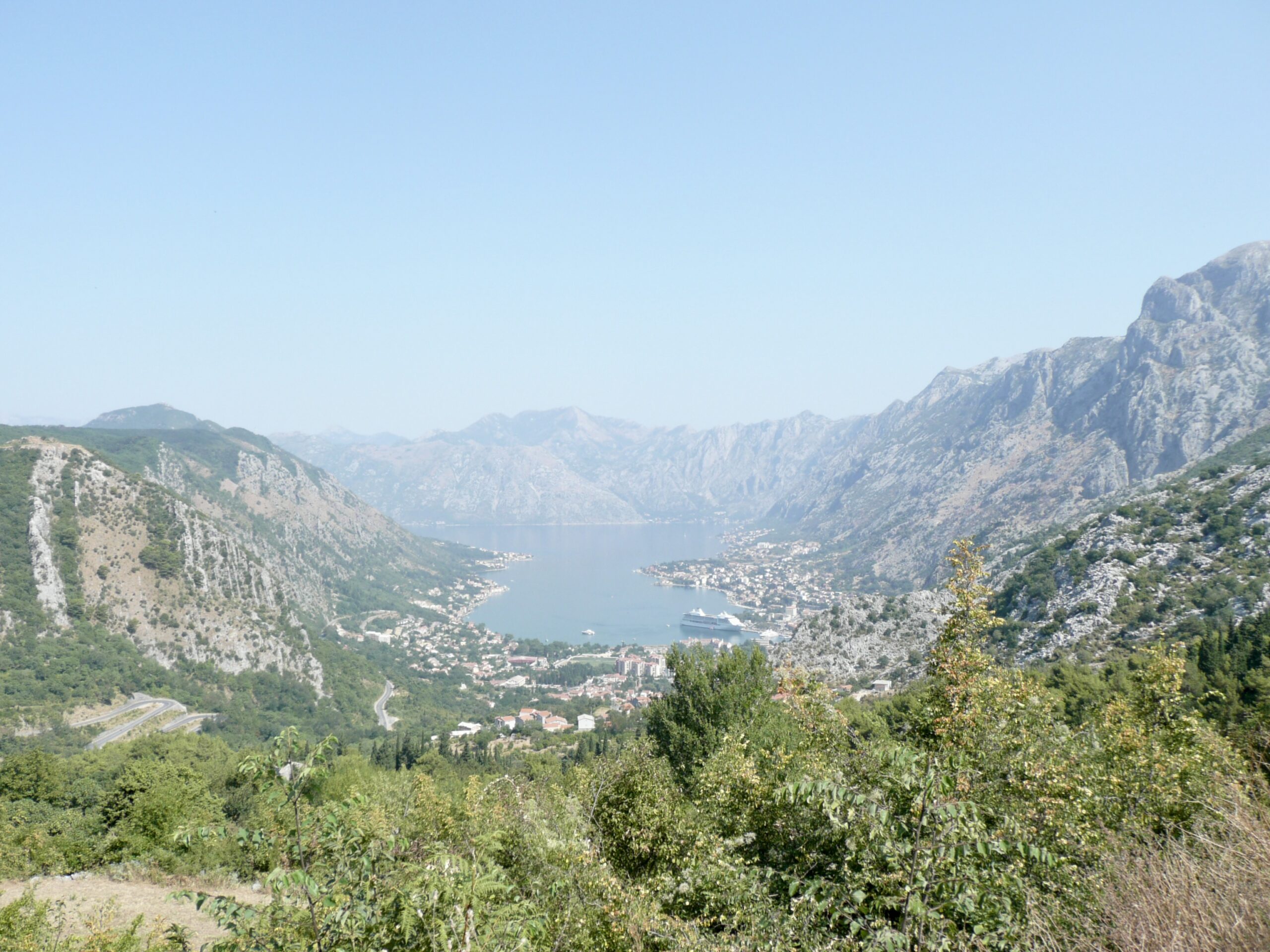
As you will see from our blog there are many choices of route through the region, our first route was by road entering via Slovenia to Croatia to head to Serbia and onto Montenegro, before using the Croatian ferries to explore the Dalmatian coast.
In later years we explored the area further either entering using ferries from Italy to Dubrovnik or leaving via ferries to Italy from Albania.
However you choose to explore the area, you are guaranteed to have an awesome time, for a fraction of the cost of Western Europe.