Ligurische Grenzkammstrabe (LKGS)
If you’re planning on exploring the Ligurische Grenzkammstraße (LKGS) tracks around the Maritime Alps on the French / Italian border, you’ll need a few maps of the area. The best single retailer for maps in the UK is Stanford Maps in London. They have three floors of travel books and maps. This is where I got our maps months prior to departing.
Of course, not all of us live near London, in which case you should probably try Amazon. I have included links to the maps below.
You don’t have to buy the maps before you leave, they are sold locally in France. You will need something with some detail though, equivalent to the UK Ordnance Survey (OS) map, which is 1:25k or 1:50k depending on the series you go for. I would strongly recommend getting maps ahead of time so that you can spend a few hours looking at what to explore whilst in the area, there are a lot of interesting tracks.
In France, the equivalent is the Institut Geographique National (IGN) they do a 1:25k map series which covers the whole of France. Wherever you go in France you can normally buy IGN maps of the local area at local shops. So you could buy on arrival.
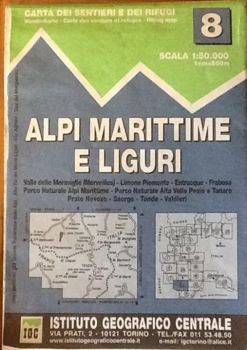
In addition to the IGN maps, we also used the Italian equivalent as we found the IGN maps loose detail, shortly after the border. These maps are Istituto Geografico Centrale (IGC). At Stanfords they had these in 1:50k. They have a slightly vintage feel in the style of printing, but they are very clear. Interestingly they also show prohibited routes.
Digital GPS Maps
One thing I should also mention is that Garmin maps have a lot of the tracks we used, well certainly in the European City Navigator. Not all though. The disadvantage of using a GPS is that it is difficult to see the detail of a wide area.

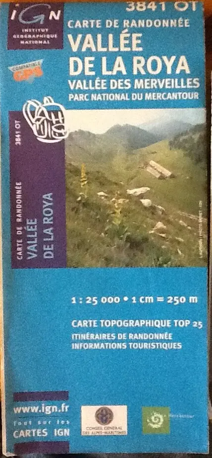
Here are some pictures of the paper maps we used.
- IGC 8 Alpi Marittime E Liguri (ISBN 9788896455081)
- IGC 1 Valli Di Susi Chisone E Germanasca (ISBN 9788896455012)
- IGN 3841 OT Vallée De La Roya, Vallée Des Merveilles, Parc National Du Mercantour (ISBN 3282113841030)
- IGN 3741 ET Vallées De La Bévéra Et Des Paillons, Parc National Du Mercantour (ISBN 9782758524083)


And in case you are interested the back of the first one.

Have fun!

Dan’s a windsurfing, adventure-seeking nomad with a passion for exploring the globe overland and an Engineer. Having grown up in the Middle East, he brings a unique perspective to Getting Lost Again, sharing his love for discovering hidden gems and embracing the unexpected. When he’s not on the road, he finds inspiration in windsurfing and other creative pursuits – and is equally at home under a vehicle solving problems as he is exploring a new place.


Pingback: LKGS Off-Road in the Maritime Alps - Overland Europe
Pingback: Off road Maritime Alps – Historic Overland Track LKGS